Subject: Western Wales
Period: 1610 (dated)
Publication: The Theatre of the Empire of Great Britaine...
Color: Hand Color
Size:
20 x 15 inches
50.8 x 38.1 cm
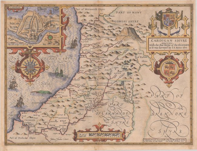
This ornate map of Ceredigion (or Cardiganshire) was engraved by Jodocus Hondius. It includes three decorative strapwork cartouches: one for the title, which features coats-of-arms and peacocks; one for the distance scale; and one framing an inset plan of Cardigan, which shows Cardigan Castle and the college. The map itself locates towns, hills, forests, rivers, and lakes. In the Irish Sea, there are sailing ships, sea monsters, and an elaborate compass rose with the Prince of Wales feathers at center. English text on verso, published by John Sudbury and George Humble.
References: Shirley (BL Atlases) T.SPE-1b.
Condition: B+
A nice impression on a sheet with a bunch of grapes watermark. There is light mat burn outside the border, a few spots, and cello tape remnants in the corners of the sheet on verso that show through slightly.