Catalog Archive
Auction 209, Lot 389
"Occidentalior Regni Angliae Districtus Comprehendens Principatum Walliae et Glocestriae Ducatum Comitatus et Provincias Cornubiae, Devoniae, Somersethi, Dorcestriae...", Wit, Frederick de
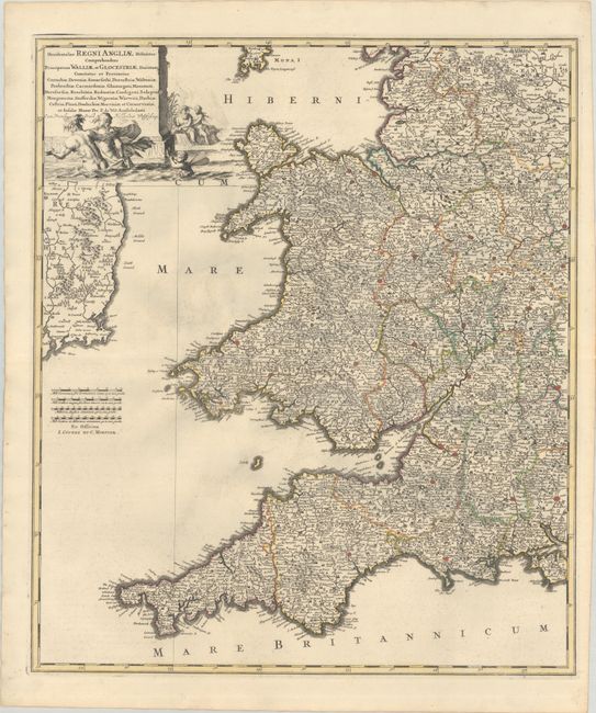
Subject: Western England & Wales
Period: 1721 (circa)
Publication:
Color: Hand Color
Size:
19.4 x 22.6 inches
49.3 x 57.4 cm
Download High Resolution Image
(or just click on image to launch the Zoom viewer)
(or just click on image to launch the Zoom viewer)