Subject: England & Wales
Period: 1910 (circa)
Publication:
Color: Printed Color
Size:
43.5 x 27.6 inches
110.5 x 70.1 cm
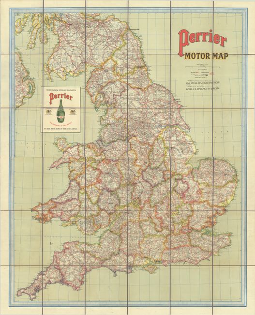
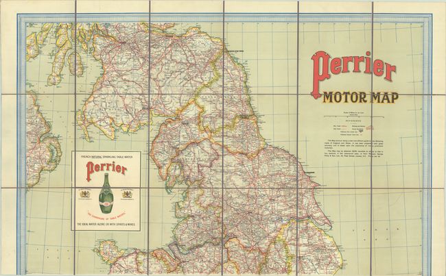
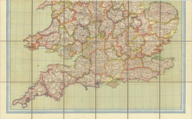
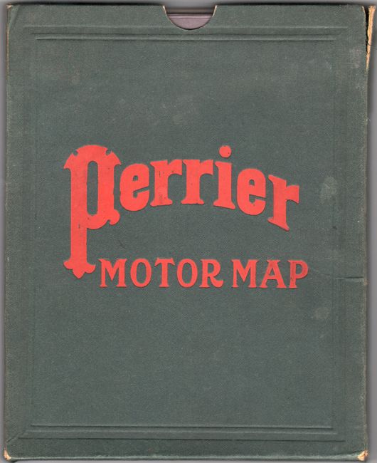
This large automobile road map of England and Wales was published as a promotional piece by Perrier or "The Champagne of Table Waters." It extends to include southern Scotland and eastern Ireland with a key at right locating main roads, other roads, railroads and county boundaries. Mileages between points are also noted on the map. Text beneath the title indicate the map "has been prepared with great accuracy, and is based upon the experience of many prominent motorists." Features a large advertisement for Perrier in the Irish Sea with royal warrant from King Edward VII prominently illustrated. Dissected and backed with linen and folds into a green cloth case (8.0 x 10.2").
References:
Condition: A
A colorful and bright example with a bit of soiling. Dissected and backed with linen. Covers have minor staining, wear and a couple of splits along the edges. The first image is a composite image - the map is on two separate sheets.