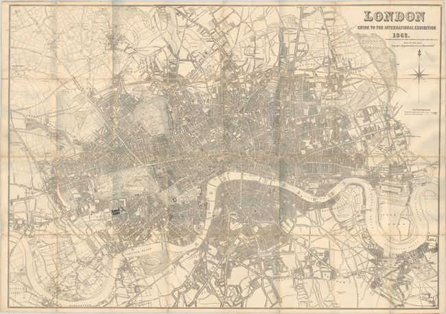
Subject: London, England
Period: 1862 (dated)
Publication:
Color: Black & White
Size:
41.7 x 29.3 inches
105.9 x 74.4 cm
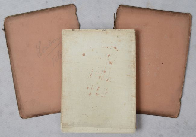
This large linen-backed plan of London was issued in conjunction with the Great London Exposition, a world's fair held from May 1 - November 1, 1862. It extends from Hammersmith east to the Isle of Dogs and from Hampstead south to Clapham. The Exposition grounds is located just south of Kensington Gardens. The map is filled with detail including the street network, railroads, points of interest, parks, gardens, and much more. Accompanied by brown cloth boards.
References:
Condition: B+
Issued folding with some wear along the fold lines and several short separations at the fold junctions. There is a bit of soiling and a tiny hole at lower left (above Chelsea Reach). The map has separated from its covers, which have split in two.