Catalog Archive
Auction 209, Lot 343
"De Cust van Barbaria, Gualata, Arguyn, en Geneheo, van Capo S. Vincente tot Capo Verde", Goos, Pieter
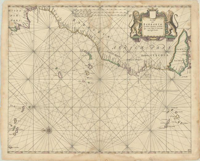
Subject: Eastern Atlantic Ocean
Period: 1666 (circa)
Publication:
Color: Hand Color
Size:
20.8 x 16.8 inches
52.8 x 42.7 cm
Download High Resolution Image
(or just click on image to launch the Zoom viewer)
(or just click on image to launch the Zoom viewer)