Catalog Archive
Auction 209, Lot 323
NO RESERVE
"Les Isles de la Guadeloupe, de Marie Galante, de la Desirade, et Celles des Saintes: Colonie Francoise dans les Antilles", Bonne, Rigobert
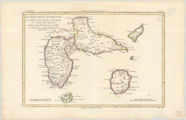
Subject: Guadeloupe
Period: 1780 (circa)
Publication: Atlas de Toutes les Parties Connues du Globe Terrestre
Color: Hand Color
Size:
12.8 x 8.5 inches
32.5 x 21.6 cm
Download High Resolution Image
(or just click on image to launch the Zoom viewer)
(or just click on image to launch the Zoom viewer)