Catalog Archive
Auction 209, Lot 305
"Carte du Golphe du Mexique et des Isles de l'Amerique pour Servir a l'Histoire Generale des Voyages", Bellin, Jacques Nicolas
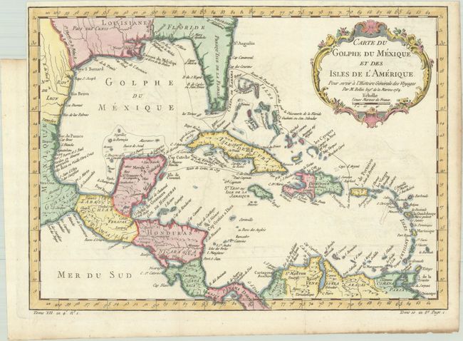
Subject: Gulf of Mexico & Caribbean
Period: 1754 (dated)
Publication: Histoire Generale des Voyages
Color: Hand Color
Size:
15.1 x 10.9 inches
38.4 x 27.7 cm
Download High Resolution Image
(or just click on image to launch the Zoom viewer)
(or just click on image to launch the Zoom viewer)