Subject: Fort Worth, Texas
Period: 1966 (dated)
Publication:
Color: Printed Color
Size:
29 x 20.3 inches
73.7 x 51.6 cm
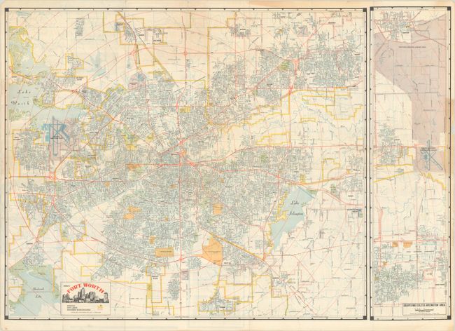
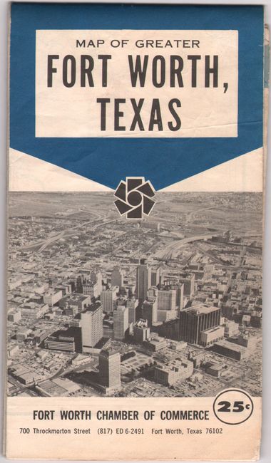
This detailed map of Fort Worth was published by J. Foster Ashburn. It extends out to Lake Worth, Colleyville, Lake Arlington and Benbrook Lake with yellow lines indicating the city limits. Adjoining municipalities are identified in pink and include Haltom City, Richland Hills, and Carswell Air Force Base. An inset flanking the map at right depicts the area between Grapevine and Arlington. The inset also notes a "Proposed Regional Airport Area" which would eventually become Dallas Fort Worth International (which opened in 1974). The title at bottom features the city skyline. Verso includes a map of the business district, illustrations of local interest, and a detailed street index. Self-folding (4.0 x 7.2").
Ashburn was based out of Fort Worth and mostly produced maps of cities in Texas and the South. Unlike most mapmakers of the period, Ashburn was “vertically integrated,” handling all the production work in house, including printing.
References:
Condition: B
Issued folding with several short fold separations and edge tears that have been closed on verso with archival tape. There is some minor toning along the border at top and right.