Subject: Minneapolis & Saint Paul, Minnesota
Period: 1957 (dated)
Publication:
Color: Printed Color
Size:
27.3 x 20.1 inches
69.3 x 51.1 cm
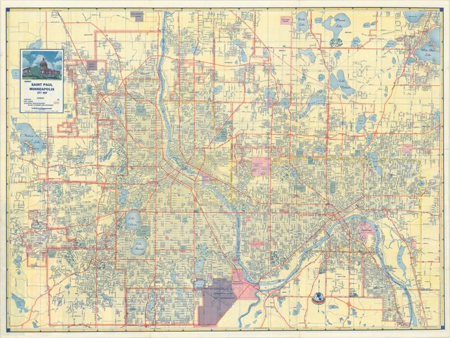
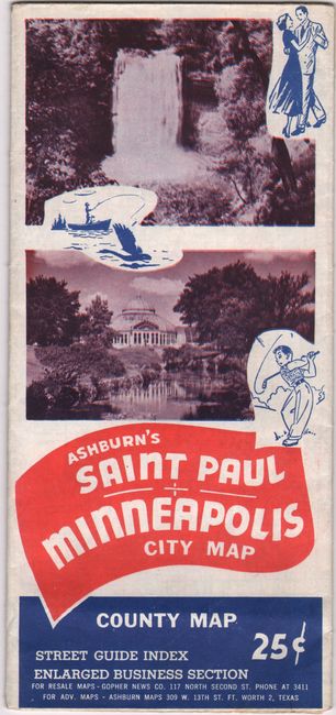
This detailed street map of Minneapolis/St. Paul was published by J. Foster Ashburn, whose maps are distinctive for their use of bright coloring. It extends from Brooklyn Park south to Edina and east to St. Paul and White Bear Lake. City limits are shown by a yellow line and adjoining municipalities are outlined in pink. The map locates parks, cemeteries, lakes, the University of Minnesota, numerous government properties, MSP airport, and more. Decorated by a title cartouche featuring the state capitol building at top left. The verso features small maps of the business sections of each city, a regional map, and detailed street index. Self-folding in pictorial wrappers (4.2 x 9.3")
Ashburn was based out of Fort Worth and mostly produced maps of cities in Texas and the South, making this map an uncommon issue. Unlike most mapmakers of the period, Ashburn was “vertically integrated,” handling all the production work in house, including printing.
References:
Condition: B+
A colorful example on a bright sheet, issued folding. There are a few short archivally repaired separations at the fold junctions.