Catalog Archive
Auction 209, Lot 177
NO RESERVE
"[Lot of 2] Washington & Oregon Territories [and] California", Morse & Gaston
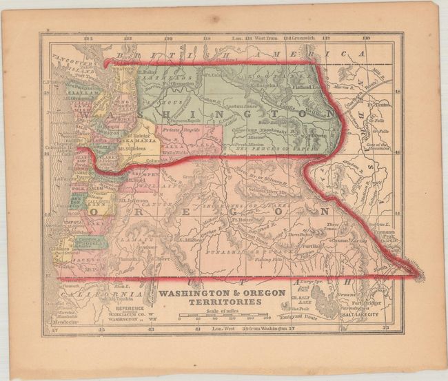
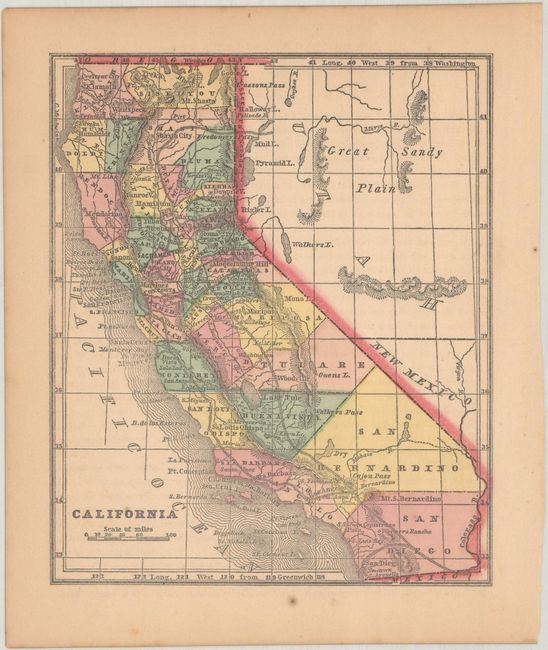
Subject: Western United States
Period: 1857 (circa)
Publication: The Diamond Atlas...
Color: Hand Color
Size:
See Description
Download High Resolution Image
(or just click on image to launch the Zoom viewer)
(or just click on image to launch the Zoom viewer)