Subject: Northeastern United States
Period: 1926 (circa)
Publication:
Color: Black & White
Size:
35.4 x 23.4 inches
89.9 x 59.4 cm
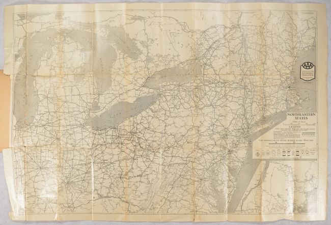
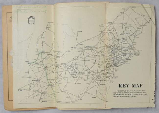
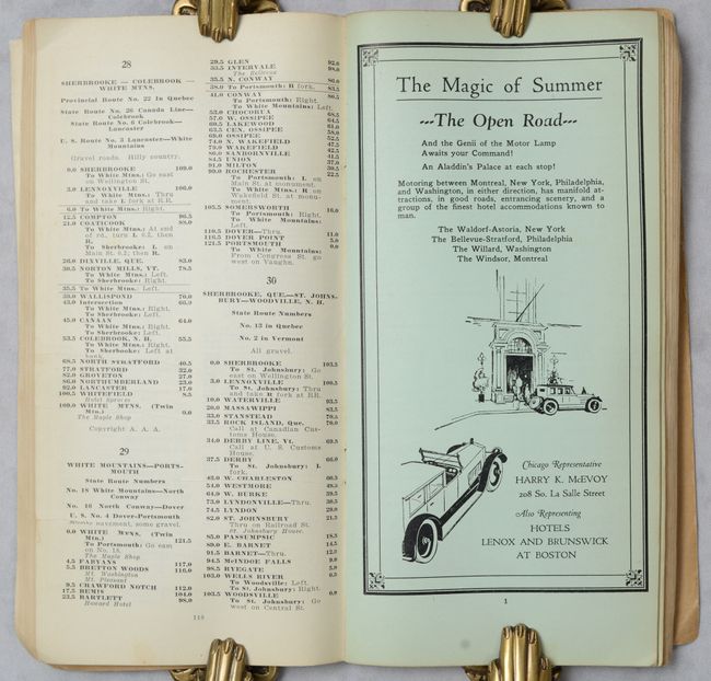
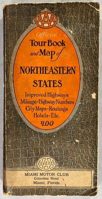
This early AAA guidebook covers the northeastern United States and features a large highway map at the back extending from Richmond, VA to Bangor, ME and west to Chicago. A legend at right locates paved roads, improved roads and dirt roads along with the types of highway markers used in each state. Mileages between locations are noted. Accompanying the map are 220 pages of text including an alphabetical listing of cities with descriptions, directions for 260 different driving routes, and an index map to the routes. The guidebook also features 40 pages of advertisements printed on bluish paper. Pictorial paper covers (4.7 x 9.4").
References:
Condition: B
The large folding map has numerous archivally repaired fold separations and small tears with some minor losses along the left vertical fold. Small index map has a long repaired separation along the right fold and some manuscript notations in colored pencil. Text is clean and slightly dog-eared. Covers have average wear.