Catalog Archive
Auction 209, Lot 150
"United States", Black, Adam & Charles
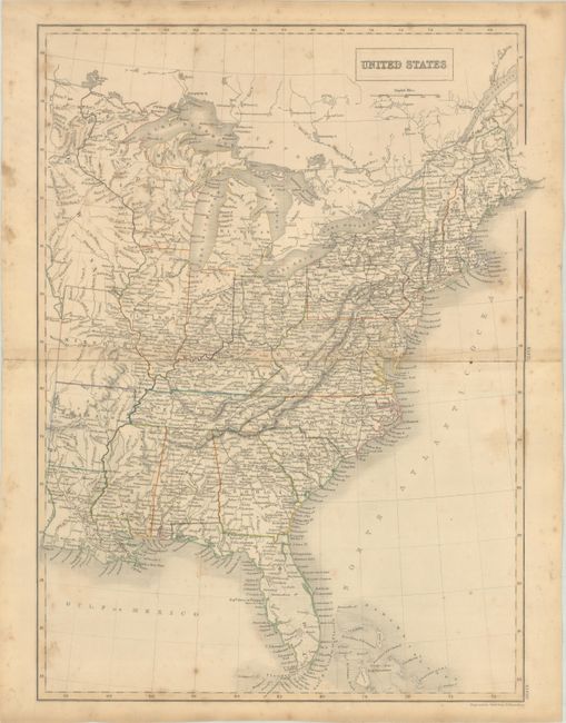
Subject: Eastern United States, Iowa
Period: 1840 (circa)
Publication: Black's General Atlas
Color: Hand Color
Size:
15 x 20 inches
38.1 x 50.8 cm
Download High Resolution Image
(or just click on image to launch the Zoom viewer)
(or just click on image to launch the Zoom viewer)