Catalog Archive
Auction 209, Lot 143
"American Railroads (Class I) - Map of the United States", Rand McNally & Co.
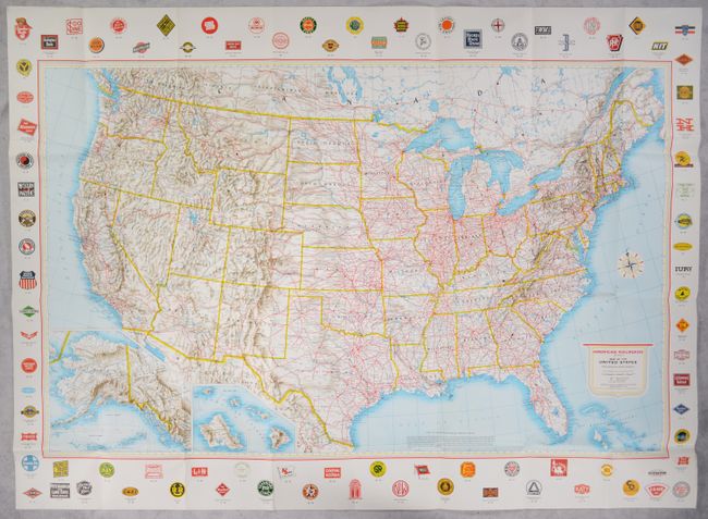
Subject: United States, Railroads
Period: 1959 (circa)
Publication:
Color: Printed Color
Size:
47.8 x 30.4 inches
121.4 x 77.2 cm
Download High Resolution Image
(or just click on image to launch the Zoom viewer)
(or just click on image to launch the Zoom viewer)