Catalog Archive
Auction 209, Lot 112
NO RESERVE
"[Lot of 2] Upper Canada [and] Lower Canada and New Brunswick", Bradford, Thomas Gamaliel
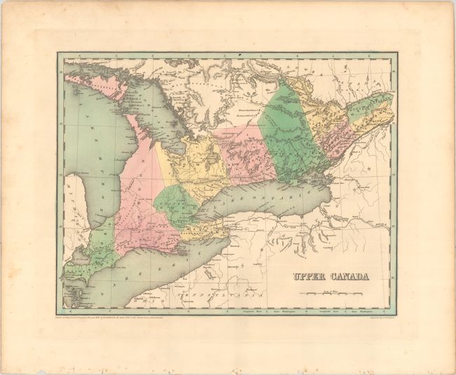
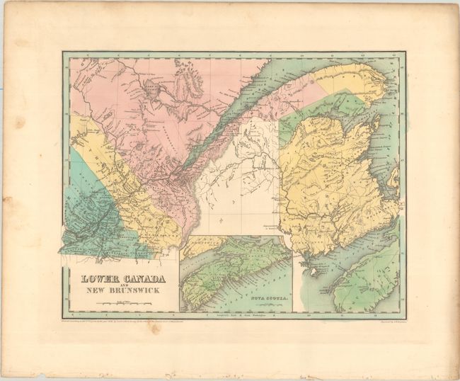
Subject: Eastern Canada
Period: 1838 (dated)
Publication: An Illustrated Atlas, Geographical, Statistical, and Historical, of the United States...
Color: Hand Color
Size:
14.4 x 11.2 inches
36.6 x 28.4 cm
Download High Resolution Image
(or just click on image to launch the Zoom viewer)
(or just click on image to launch the Zoom viewer)