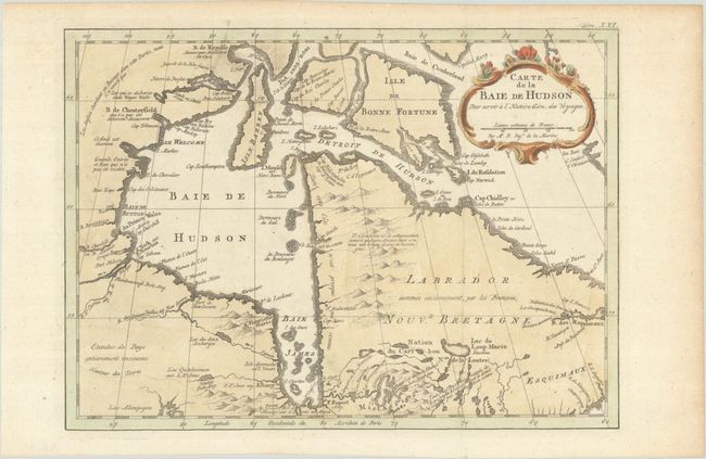
Subject: Eastern Canada
Period: 1777 (circa)
Publication: Histoire Generale des Voyages
Color: Hand Color
Size:
11.9 x 8.6 inches
30.2 x 21.8 cm
A handsome chart of Hudson Bay and Labrador engraved in Bellin's crisp style depicting the mountains and coastal features. There is a note in French in the far northwest corner of the map near Wager Water explaining that the English had searched there for a passage to Asia, but it did not exist. Henry Ellis explored those rivers and inlets during his search for a Northwest Passage in 1746. This is the first state of the third plate, with "Tom. XXI." engraved at top right.
References: Kershaw #462; cf. Sellers & Van Ee #304.
Condition: A
A crisp impression, issued folding on a bright sheet with one small spot in the top border and minor toning along the edges of the sheet.