Catalog Archive
Auction 209, Lot 101
NO RESERVE
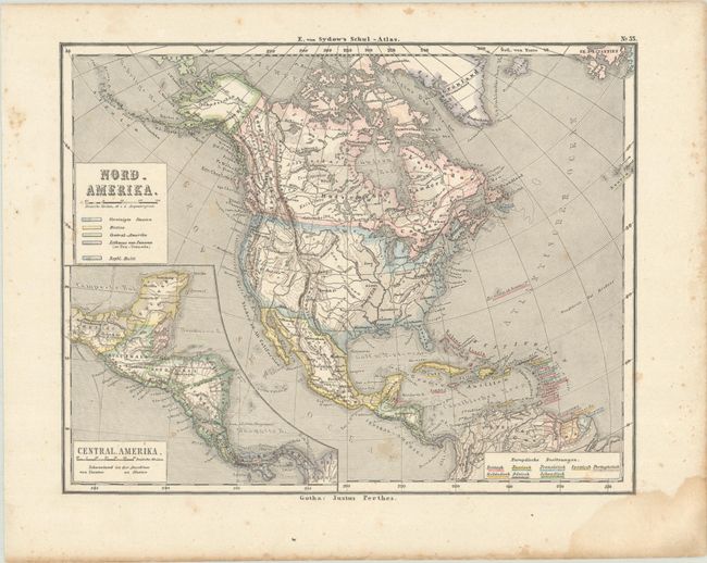
"Nord-Amerika", Perthes, Justus
Subject: North America
Period: 1855 (circa)
Publication: E. von Sydow's Schul-Atlas
Color: Printed Color
Size:
9.9 x 7.8 inches
25.1 x 19.8 cm
Download High Resolution Image
(or just click on image to launch the Zoom viewer)
(or just click on image to launch the Zoom viewer)