Subject: North America
Period: 1827 (published)
Publication: A Complete Historical, Chronological, and Geographical American Atlas
Color: Hand Color
Size:
13.3 x 14 inches
33.8 x 35.6 cm
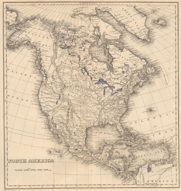
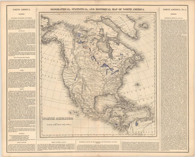
The United States and Great Britain established in 1818 joint claim over the Oregon Territory - the region north of Spanish controlled Upper California up to the southern boundary of Russia's Alaska Territory at North latitude 54°40'. By the late 1830's this arrangement was beginning to fall apart.
In the 1840's the expansionist Democrats, including their 1844 presidential candidate, James Polk, claimed the entire region for the United States. Their expansionist desires were expressed by Polk's famous campaign slogan, "Fifty-four Forty or Fight!" The slogan also became a rally cry for Americans desiring to settle the territory. Following Polk's election, the dispute was resolved by the 1846 Treaty of Oregon, which struck a compromise that fixed the U.S./Canadian boundary at 49º North.
This uncommon circa 1825 edition map differs from the 1822 version in its depiction of the United States' claims in the Oregon Boundary Dispute, with a huge Missouri Territory extending well into present-day British Columbia. This edition also has a notation in northern Canada "The Sea Seen by Franklin in 1821" that did not previously appear. Texas and the Southwest are still part of Mexico, and the western mountain ranges and river systems reflect the confusing reports by early explorers. Greenland is depicted as connected to Canada, and Alaska is labeled Tchoukotches. The map is surrounded by columns of text describing the boundaries, topography, natives, and the history of the settlement of North America. Drawn by J. Finlayson and engraved by J. Yeager. Full sheet measures 21.9 x 17.5".
References: Phillips (Atlases) #1177-3.
Condition: B
A crisp impression on a clean sheet with numerous binding holes along the centerfold. There are many manuscript notations primarily in Alaska and northern Canada.