Subject: References, Canada
Period: 1979 (published)
Publication:
Color: Printed Color
Size:
16.3 x 14.2 inches
41.4 x 36.1 cm
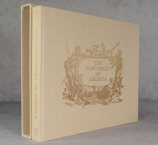
The definitive cartographic reference on Canada, with broad relevance to North American geography. It provides a carto-bibliography of maps published between the 16th (Forlani) and 19th (Arrowsmith) centuries. The book is divided into seven sections:
Part I: The World In 1562
Part II: Initial Exploration and Settlement 1556-1693
Part III: The Period of Expansion - Eastern Canada 1703-1843
Part IV: Exploring And Settling Central Canada 1597-1819
Part V: The Arctic 1595-1875
Part VI: Opening The Pacific Northwest 1566-1871
Part VII: The Culmination 1858
The appendix contains detailed descriptions of the maps reproduced, together with notes about other maps related to them. 304 pages including 46 maps (5 in color). Frontis is hand-numbered 861 of a limited edition of 1500 and signed by the authors. Pictorial, gold-stamped cloth over boards, housed in a matching slipcase.
References:
Condition: A
Contents and binding are near fine. There is some light soiling on the slipcase.