Subject: School Atlas
Period: 1863 (published)
Publication:
Color: Hand Color
Size:
10.3 x 12.2 inches
26.2 x 31 cm
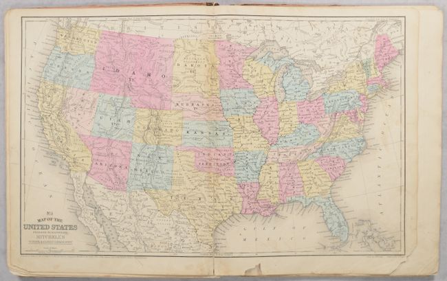
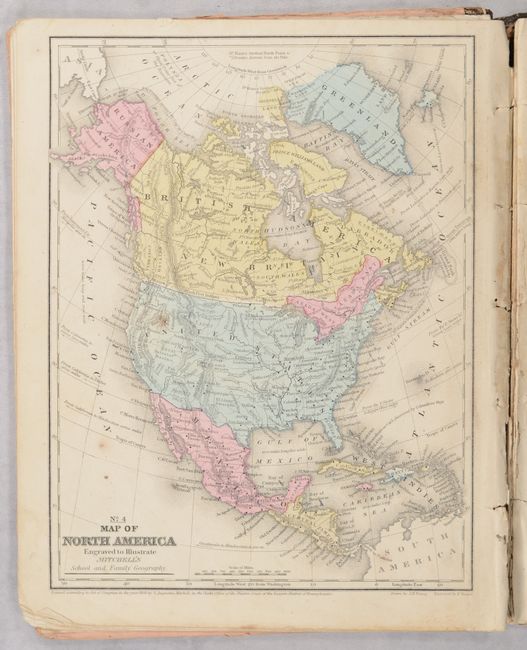
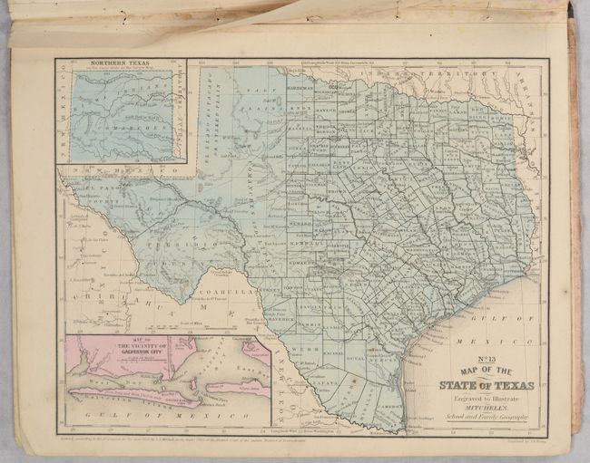
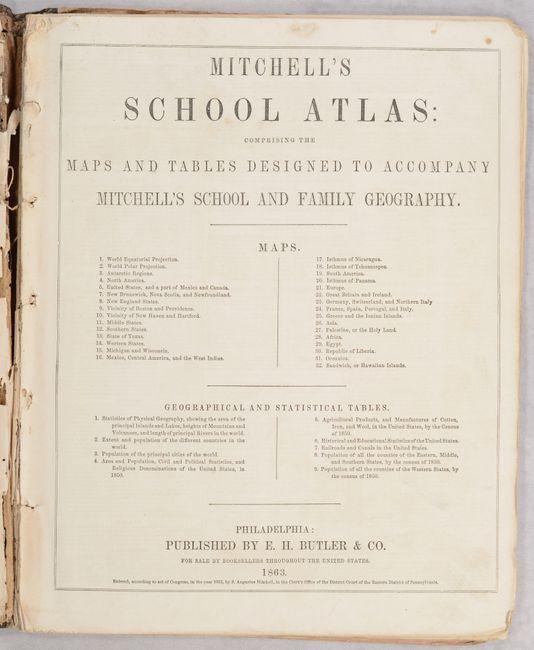
This school atlas is complete with 31 maps (the table of contents lists 32 but skips #7) along with tables and statistics. The United States map features a huge Idaho Territory incorporating Montana, Idaho and Wyoming while Arizona Territory encompasses the southern tip of Nevada. West Virginia, which seceded from Virginia in 1861, is now shown as a separate state. The atlas also features a nice map of North America and Texas. Hardbound with pictorial paper over boards. Published by E.H. Butler & Co with "Revised Edition" on the front cover.
References:
Condition: B
Maps have contemporary color with some minor soiling, occasional spots of foxing, and chips in the bottom margins. The U.S. map has a 5" centerfold separation at bottom that has been repaired with archival tape. The binding has almost perished with maps very loose and a few text pages have detached. Covers are surprisingly bright with some dampstaining along the edges.