Subject: School Atlas
Period: 1854 (published)
Publication:
Color: Hand Color
Size:
10 x 12.1 inches
25.4 x 30.7 cm
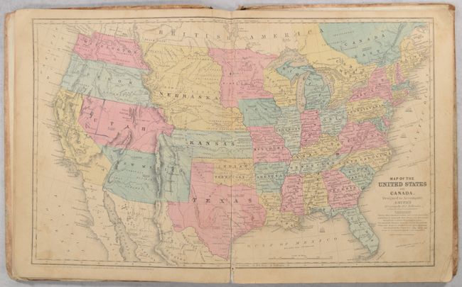
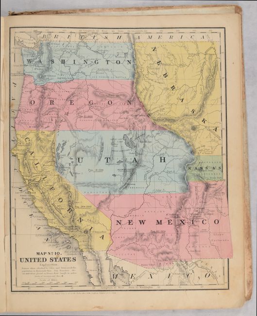
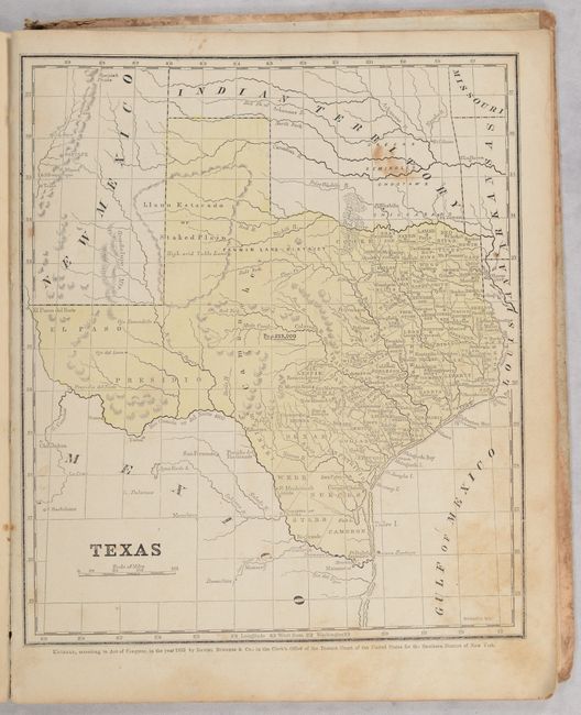
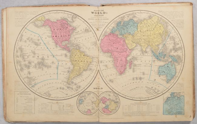
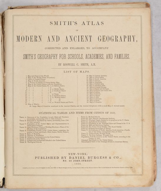
This revised and enlarged edition contains 35 maps, consisting of 3 double-page and 21 single-page maps. Of particular interest is the double-page map of the United States with early territorial borders in the west. The territories of Washington and Oregon extend to the Continental Divide, and Utah is a huge area that extends from California to the Rockies. New Mexico Territory occupies all of today's Arizona and part of Colorado and the border with Mexico reflects the Gadsden Purchase. A huge Nebraska extends between the Continental Divide and Minnesota while Kansas extends west into present-day eastern Colorado. A large Gold Region is shown in north central California. The atlas also contains several regional maps of the United States including one of the Far West, a single-page map of Texas, and double-page map of the world. Pictorial paper over boards. 68 pages. Published by Daniel Burgess & Co.
References:
Condition: B
Maps have contemporary color with light toning, minor soiling, and some occasional foxing or staining. The double-page maps of the world and United States have archivally repaired centerfold separations at bottom (3" and 4.25" respectively). Covers are heavily worn and chipped along the edges.