Subject: School Atlas
Period: 1840 (circa)
Publication:
Color: Hand Color
Size:
6.4 x 9.5 inches
16.3 x 24.1 cm
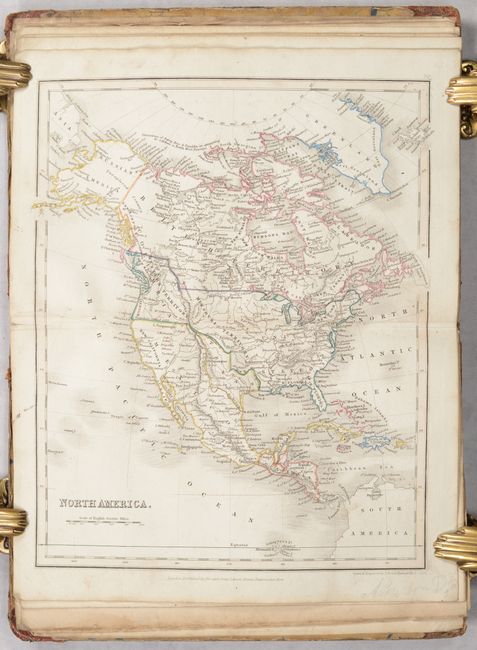
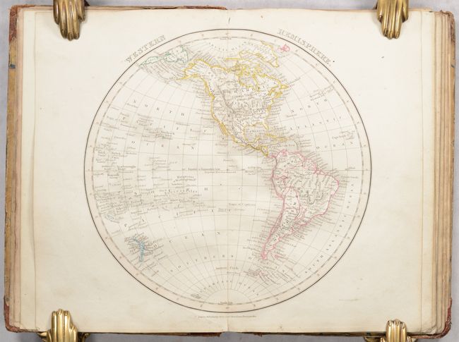
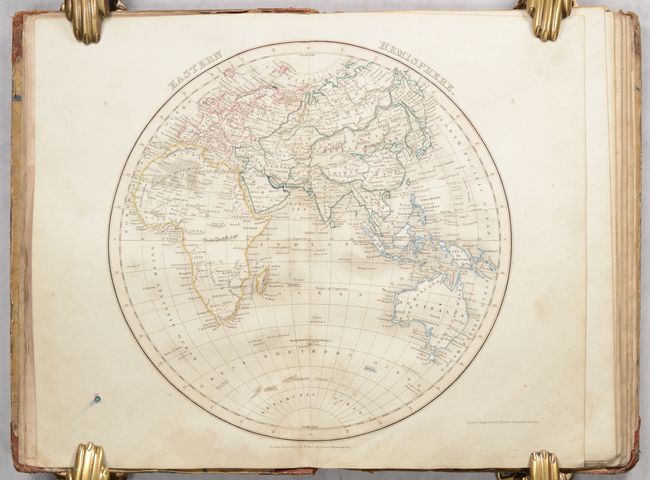
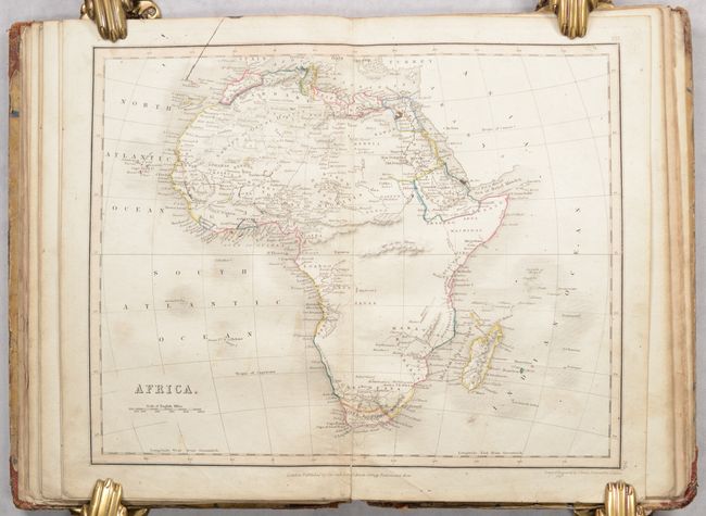
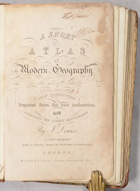
This small school atlas contains 12 double-page maps including the Eastern Hemisphere, Western Hemisphere, Europe, British Isles, England, Scotland, Ireland, France, Asia, Africa, North America, and South America. Each is filled with good detail of political boundaries, towns and cities, watersheds, topography and more. Of particular interest is the map of North America, which features a large Republic of Texas extending west to the Rio Grande and north to the 42nd parallel. To its north, a large area comprised of the Pacific Northwest and southern British Columbia is labeled "Western Territory" and appears to reflect U.S. interests in the region despite being a British publication. Interestingly, the map of the Western Hemisphere presents the opposite view - Canadian claims extend down to the Columbia River. Following the maps is an extensive 13-page index. Published by Orr & Company in London. Hardbound in quarter calf with tips over marbled boards.
References:
Condition: B
Contemporary outline color with some light soiling, several archivally repaired fold separations, and a small repaired tear in the map of Scotland. Title page has dampstains along the edges and the endpapers are filled with previous owner inscriptions. Covers are moderately soiled and worn and the lower spine is mostly chipped away.