Subject: Atlases
Period: 1932 (circa)
Publication:
Color: Printed Color
Size:
11.8 x 15 inches
30 x 38.1 cm
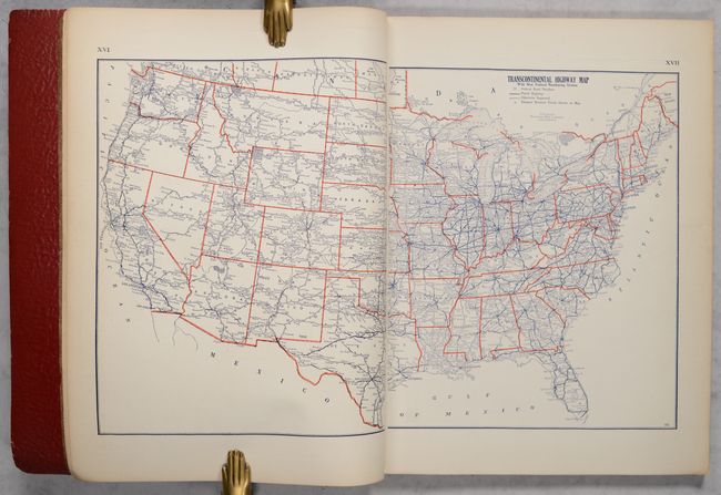
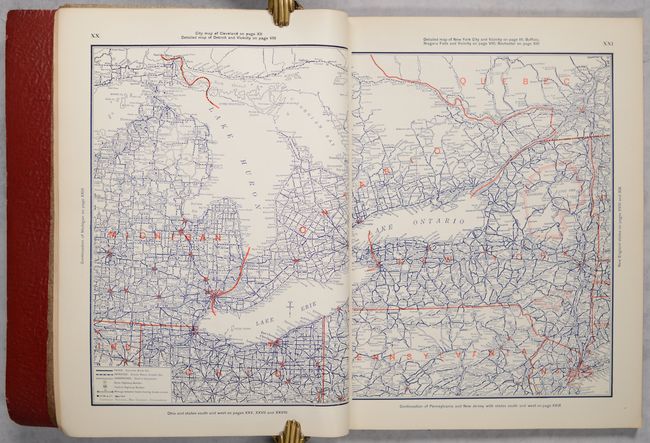
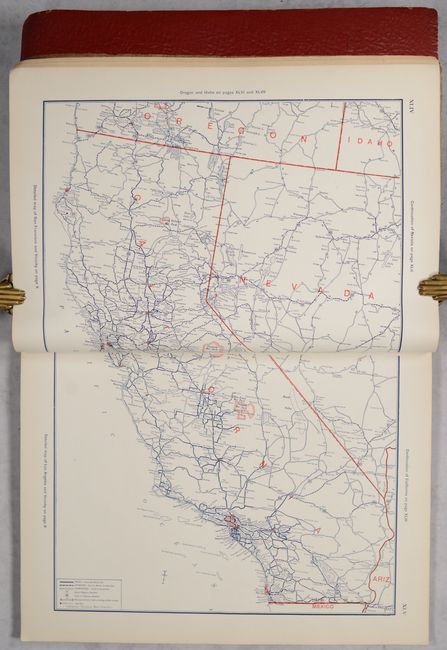
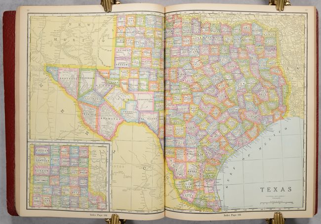
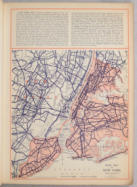
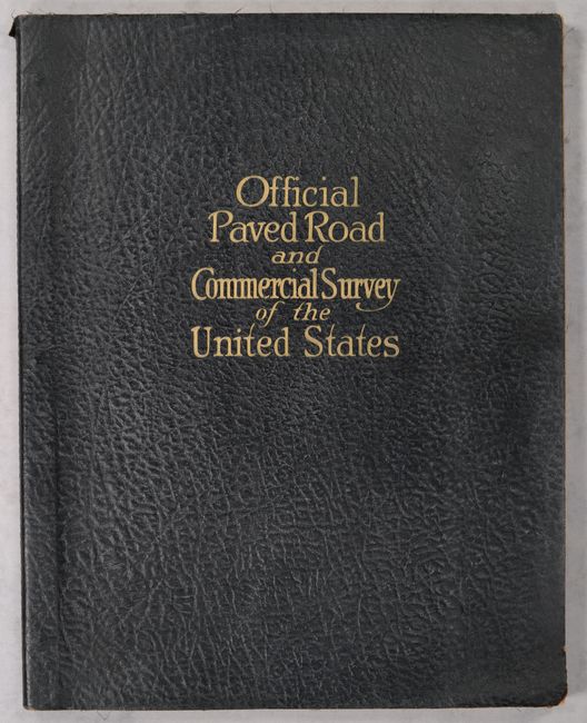
An early road atlas issued less than a decade after the formation of the Federal Highway Numbering System in 1926. This high-quality production features 30 road maps of major cities, regional road maps, a U.S. road map, and "commercial" (atlas) maps for each state. The road maps each include a key identifying paved roads, improved roads, unimproved roads, state highway numbers, and federal highway numbers. Also of interest is a map showing the emerging "air routes" as well as a map identifying national parks & monuments in the western half of the country. Soft faux leather covers with gilt title on the front cover.
References:
Condition: B+
Contents are mostly clean and bright with occasional minor toning or soiling along the sheet edges. Binding has light shelf wear.