Subject: Mariana & Caroline Islands
Period: 1852 (dated)
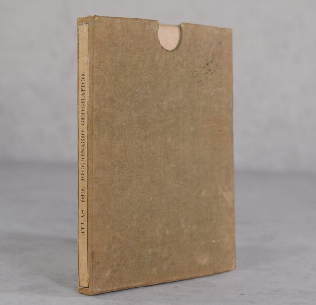
Publication: Atlas de Espana y sus Posesiones de Ultramar
Color: Hand Color
Size:
41.4 x 29.4 inches
105.2 x 74.7 cm
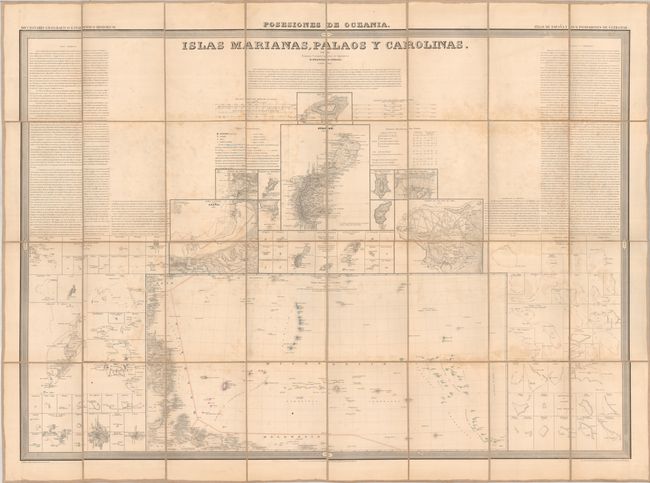
This large sheet focused on the Mariana and Caroline Islands is based upon earlier Spanish charts of 1817 and 1824 and other works including Kotzebue, Freycinet, Duperrey, Lutke, Dumont d'Urville and Wilkes. The composition features numerous inset maps with the Mariana Islands at top, Caroline Islands at lower left and right, and a chart incorporating both chains at bottom center. The island is Guam is featured at center with good coastal detail including numerous place names, soundings and shoals. Descriptive text flanks the maps at upper left and right. Dissected and backed with linen. The map was published as part of Coello's Atlas de Espana e sus Posesiones de Ultramar (Atlas of Spain and its Overseas Possessions), and issued separately with its own slipcase.
Francisco Coello de Portugal y Quesada (1822-1898) was a Spanish cartographer and military professional who authored an atlas of Spanish possessions overseas, published in Madrid between 1848 and 1869. The atlas was created as an accompaniment to the Diccionario Geografico Estadistico Historico by Pascual Madoz. Although 65 maps were originally planned, only 45 maps were eventually completed. Coello studied at the Academia de Ingenieros de Guadalajara (Academy of Engineering in Guadalajara) and was assigned as Lieutenant Colonel of the Spanish Corps of Engineers and stationed in Algeria in 1844. Coello founded the Sociedad Geografica de Madrid (Geographical Society of Madrid) in 1876, which later became the Real Sociedad Geografica de Espana (Royal Geographical Society of Spain).
References:
Condition: B
Dissected and backed with linen. There is some light foxing and staining. Slipcase has moderate wear, light staining, and a few ink manuscript notations on verso.