Catalog Archive
Auction 208, Lot 624
NO RESERVE
"Islands in the Pacific Ocean", Johnston, Alexander K.
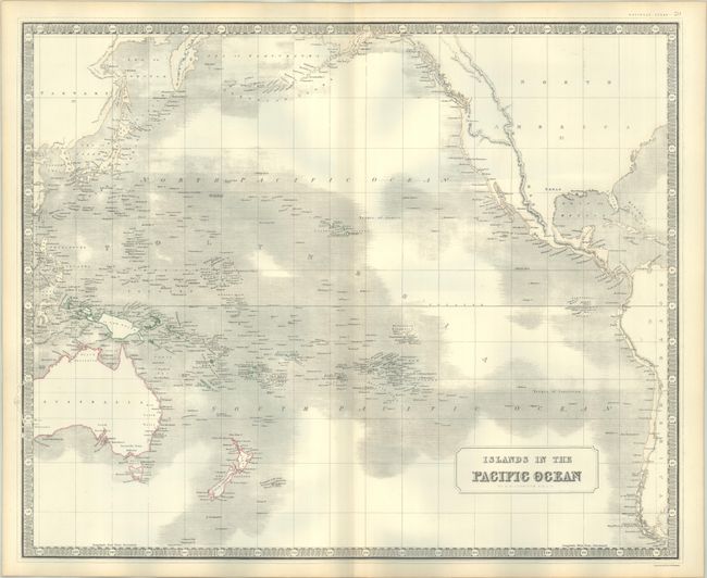
Subject: Pacific Ocean
Period: 1845 (circa)
Publication: National Atlas
Color: Hand Color
Size:
24.4 x 19.9 inches
62 x 50.5 cm
Download High Resolution Image
(or just click on image to launch the Zoom viewer)
(or just click on image to launch the Zoom viewer)