Catalog Archive
Auction 208, Lot 575
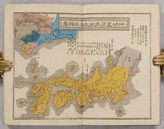
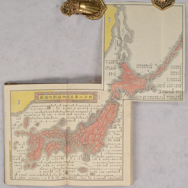
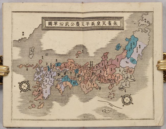
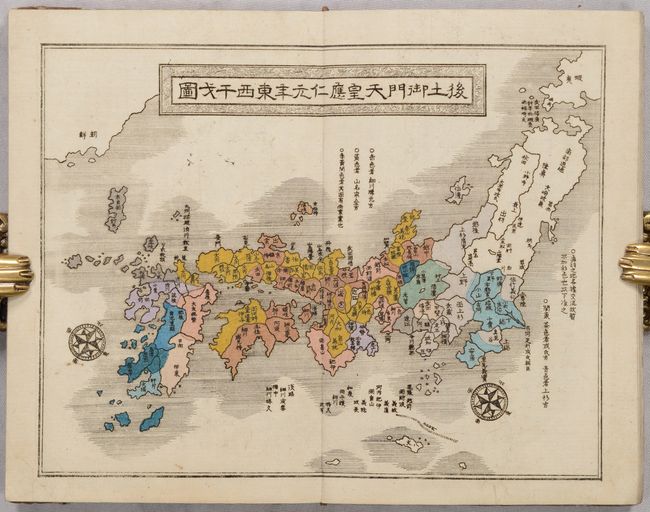
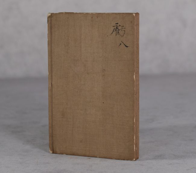
Japanese Atlas Showing Annexation of Hokkaido
"[Meiji Atlas of Japan]"
Subject: Japan, Atlas
Period: 1869 (circa)
Publication:
Color: Hand Color
Size:
4.4 x 6.8 inches
11.2 x 17.3 cm
Download High Resolution Image
(or just click on image to launch the Zoom viewer)
(or just click on image to launch the Zoom viewer)