Catalog Archive
Auction 208, Lot 571
"Charte von China nach Murdochischer Projection Entworfen...", Stieler, Adolph
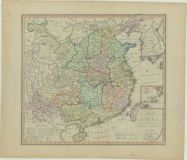
Subject: China & Korea
Period: 1804 (dated)
Publication:
Color: Hand Color
Size:
20.4 x 18.6 inches
51.8 x 47.2 cm
Download High Resolution Image
(or just click on image to launch the Zoom viewer)
(or just click on image to launch the Zoom viewer)