Subject: China, Korea & Japan
Period: 1937 (published)
Publication:
Color: Printed Color
Size:
29.4 x 19.6 inches
74.7 x 49.8 cm
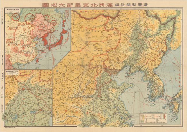
This fascinating propaganda map was created by Yomiuri Shinbunsha and published on August 10, 1937, at the outset of the Second Sino-Japanese war. The larger map at right focuses on northeastern China and Korea and details the transportation network of roads, plane routes and ship routes. At bottom left is an inset of the vicinity of Beijing and Tianjin with a similar focus on transportation. However the main message of this map is presented by the inset at top left, which shows a wider view of East Asia and provides an overview of the military situation in the region. The red circles are centered on key cities with military bases, including Vladivostok and Tianjin, and depict the range of attack by ground troops and bombers, which includes all of Japan and its occupied territories. Beginning in 1934, the Soviet Union had invaded the province of Xinjiang in order to strengthen its military presence, so the threat of attack on Japan was quite real.
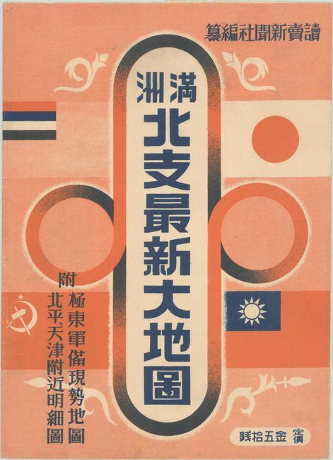
This example is accompanied by the original printed envelope in which it was issued, which incorporates the flags of Japan, Manchuria, the Soviet Republic, and the Republic of China. This ephemeral map, particularly with the original envelope, is rare on the market.
References: Rumsey #16594.
Condition: A
A bright example, issued folding, with minor offsetting. The envelope has very minor wear.