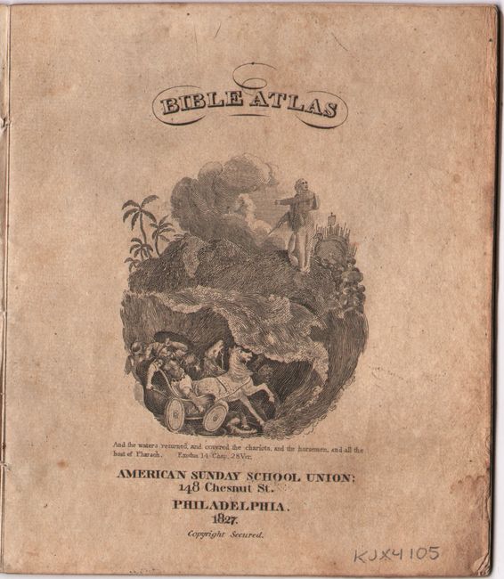
Subject: Holy Land, School Atlas
Period: 1827 (published)
Publication:
Color: Hand Color
Size:
4.5 x 5.3 inches
11.4 x 13.5 cm
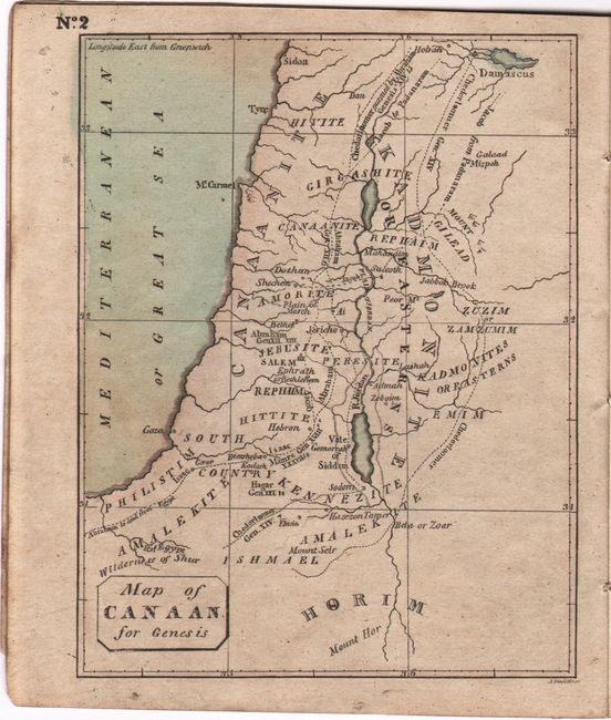
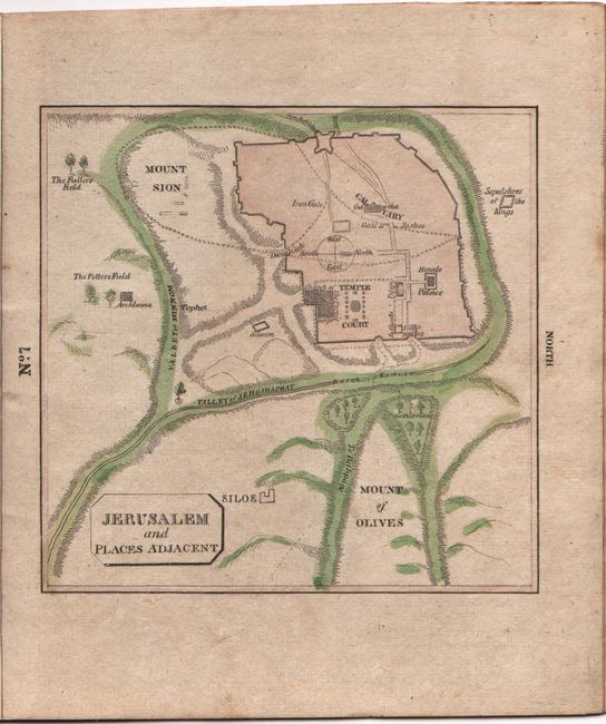
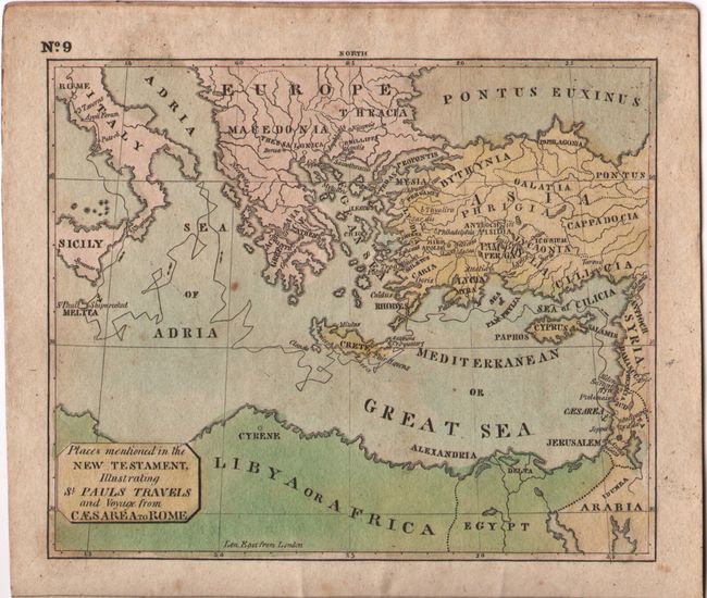
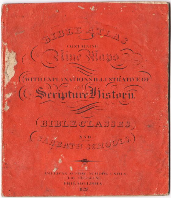
This small atlas is scarce and possibly the first American produced Bible Atlas, by Richard C. Morse, American Sunday School Union, Philadelphia. It contains nine maps and a couple of text pages explaining the maps in a biblical context. The nine maps include:
Map of Eastern Countries mentioned by Moses.(4.8 x 4").
Map of Canaan for Genesis.(3.7 x 4.8").
Journeyings of Israel in the Wilderness.(3.8 x 4.8").
Canaan for Judges.(3.6 x 4.8").
Canaan for Samuel.(3.6 x 4.8").
General Map of Canaan.(3.7 x 4.8").
Jerusalem and Places Adjacent.(3.6 x 3.5").
Israel, Shewing those Places which are mentioned by the Four Evangelists.(3.7 x 4.8").
Places mentioned in the New Testament, Illustrating St. Pauls Travels and Voyage from Caesarea to Rome.(4.6 x 3.8").
Orange printed wrappers, engraved title page, maps, 2 pages of text.
References:
Condition: B+
Contemporary color with some light soiling and occasional minor foxing or offsetting. Covers are soiled with a few abrasions near the spine.