Catalog Archive
Auction 208, Lot 531
"Het Beloofde Landt Canaan. Door-Wandelt van Onsen Salichmaaker Jesus Christus Neffens Syne Apostelen", Danckerts, Cornelius
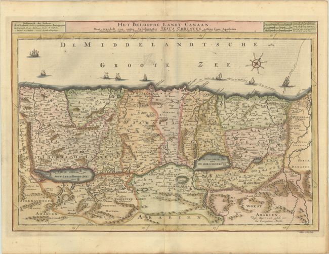
Subject: Holy Land
Period: 1718 (published)
Publication:
Color: Hand Color
Size:
19.8 x 13.6 inches
50.3 x 34.5 cm
Download High Resolution Image
(or just click on image to launch the Zoom viewer)
(or just click on image to launch the Zoom viewer)