Catalog Archive
Auction 208, Lot 500

"Tabula Italiae Antiquae Geographica quam Excellentissimas Dominus Dux de la Rochefoucauld in Aere Incidi Curavit", Anville, Jean Baptiste Bourguignon d'
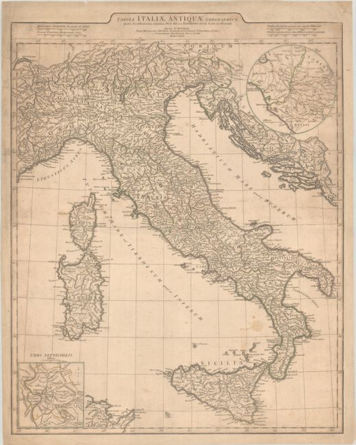
Subject: Italy

Period: 1764 (dated)

Publication:

Color: Hand Color

Size:
19.6 x 24.8 inches
49.8 x 63 cm
Download High Resolution Image
(or just click on image to launch the Zoom viewer)

This handsome and detailed map shows Italy with ancient place names. In addition to the peninsula, it depicts Corsica, Sardinia, Sicily, the Dalmatian coast, and Carthage. An inset at top right details Rome and vicinity; another inset at bottom left, Urbs Septicollis, zooms in on Rome. Four distance scales appear at top. This map appeared in various composite atlases and collections of ancient geography.

References: cf. Shirley (BL Atlases) T.ANV-2b #36.

Condition: B

On a sturdy sheet that has been trimmed to neatline and attached to a sheet of wove paper. There is moderate soiling, a dampstain in an unengraved area west of Calabria, and a couple printer's creases at right.

Estimate: $100 - $130

Sold for: $75

Closed on 4/22/2026

Archived