Catalog Archive
Auction 208, Lot 487
"[On 2 Sheets] Generalkarte von Siebenburgen nach Geometrisch Gemessenen Karten...", Schraembl, Franz Anton
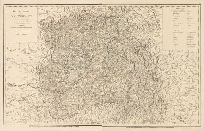
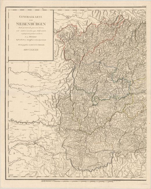
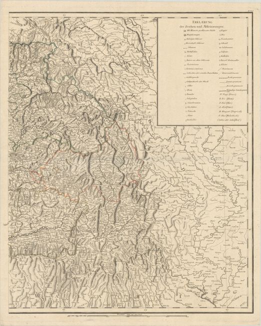
Subject: Romania
Period: 1789 (published)
Publication:
Color: Hand Color
Size:
21.9 x 26.7 inches
55.6 x 67.8 cm
Download High Resolution Image
(or just click on image to launch the Zoom viewer)
(or just click on image to launch the Zoom viewer)