Catalog Archive
Auction 208, Lot 468
"Carte de la Souverainete de Neuchatel et Vallangin Dressee sur les Memoires du Sr. D.F. de Merveilleux D. Mein...", Delisle/Covens & Mortier
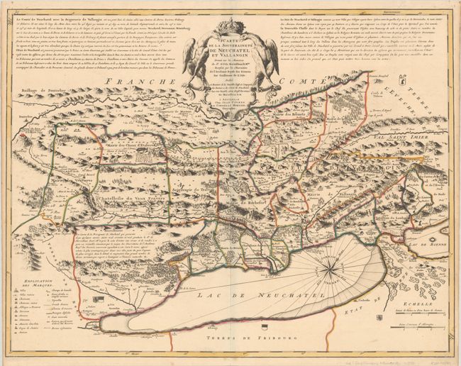
Subject: Lake Neuchatel, Switzerland
Period: 1730 (circa)
Publication:
Color: Hand Color
Size:
25.2 x 19.5 inches
64 x 49.5 cm
Download High Resolution Image
(or just click on image to launch the Zoom viewer)
(or just click on image to launch the Zoom viewer)