Catalog Archive
Auction 208, Lot 463
"Tabula Generalis Marchionatus Moraviae in sex Circulos Divisae quos Mandato Caesareo...", Homann, Johann Baptist
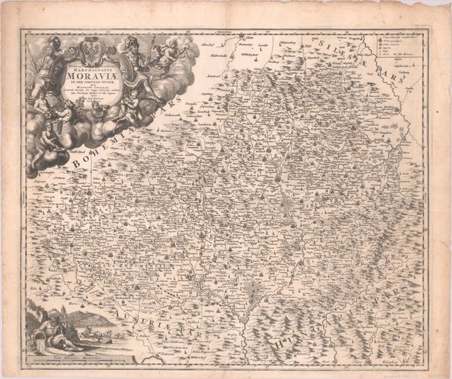
Subject: Southern Czech Republic
Period: 1720 (circa)
Publication:
Color: Black & White
Size:
22.8 x 19.1 inches
57.9 x 48.5 cm
Download High Resolution Image
(or just click on image to launch the Zoom viewer)
(or just click on image to launch the Zoom viewer)