Catalog Archive
Auction 208, Lot 461
"Marchionatus Brandenburgici Partes Duae, Nova Marchia et Uckerana. Autore Olao Joannis Gotho Gustavo Magni Cosmographo", Blaeu, Johannes
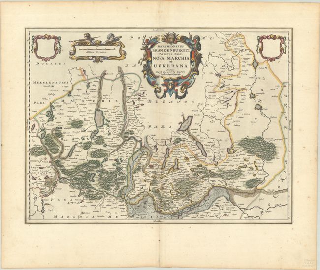
Subject: Northeastern Germany & Northwestern Poland
Period: 1662 (circa)
Publication:
Color: Hand Color
Size:
20.9 x 15.4 inches
53.1 x 39.1 cm
Download High Resolution Image
(or just click on image to launch the Zoom viewer)
(or just click on image to launch the Zoom viewer)