Catalog Archive
Auction 208, Lot 447
"Praefecturae Principatua Quefurtensis Dahmiana et Iuterboccensis...", Seutter/Lotter
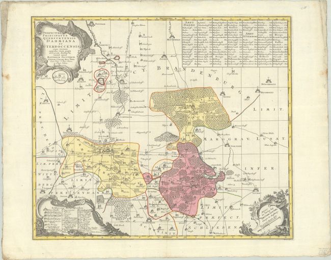
Subject: Eastern Germany
Period: 1730 (circa)
Publication:
Color: Hand Color
Size:
23.1 x 19.8 inches
58.7 x 50.3 cm
Download High Resolution Image
(or just click on image to launch the Zoom viewer)
(or just click on image to launch the Zoom viewer)