Catalog Archive
Auction 208, Lot 443
"Landgraviatus Hassiae Inferioris Nova Tabula, in qua Praecipue Ditiones Hasso-Casselenses et Comitatus Waldeck...", Homann, Johann Baptist
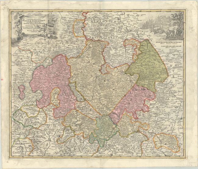
Subject: Central Germany
Period: 1720 (circa)
Publication:
Color: Hand Color
Size:
22.6 x 19.1 inches
57.4 x 48.5 cm
Download High Resolution Image
(or just click on image to launch the Zoom viewer)
(or just click on image to launch the Zoom viewer)