Catalog Archive
Auction 208, Lot 442
"Tabula Geographica in qua Serenissimi Principis Friderici Duc. Sax. Juliae, Cliviae, et Montium, nec non Angariae et Westphaliae Principatus Gotha, Coburg et Altenburg...", Homann, Johann Baptist
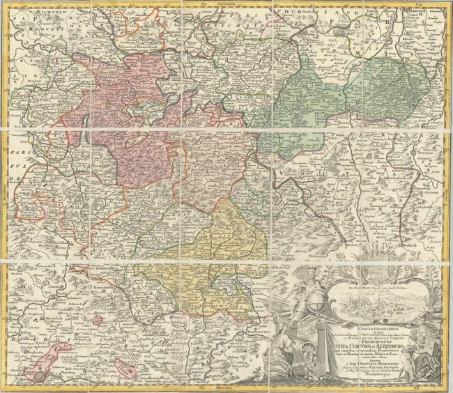
Subject: Central Germany
Period: 1720 (circa)
Publication:
Color: Hand Color
Size:
22.3 x 19.4 inches
56.6 x 49.3 cm
Download High Resolution Image
(or just click on image to launch the Zoom viewer)
(or just click on image to launch the Zoom viewer)