Catalog Archive
Auction 208, Lot 436
"Nova et Exacta Mappa Geographica Exhibens Circulum Westphalicum in Omnes suos Status et Provincias Accurate Divisum...", Lotter, Tobias Conrad
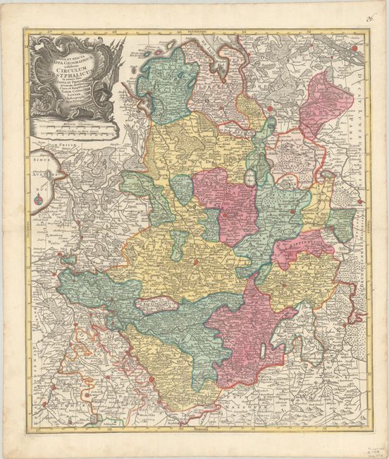
Subject: Northwestern Germany
Period: 1758 (circa)
Publication:
Color: Hand Color
Size:
19.6 x 22.7 inches
49.8 x 57.7 cm
Download High Resolution Image
(or just click on image to launch the Zoom viewer)
(or just click on image to launch the Zoom viewer)