Subject: Central Europe, Atlas
Period: 1762 (circa)
Publication:
Color: Hand Color
Size:
3.5 x 5.1 inches
8.9 x 13 cm
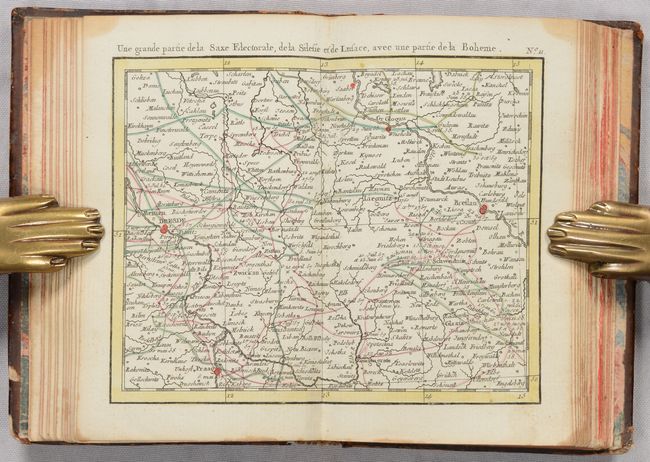
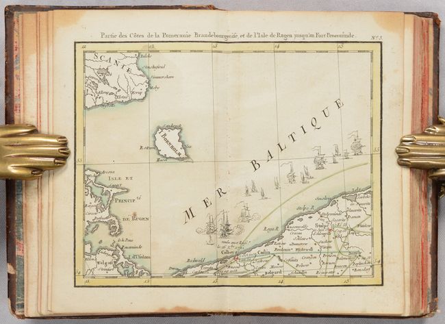
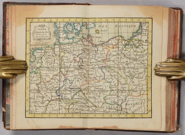
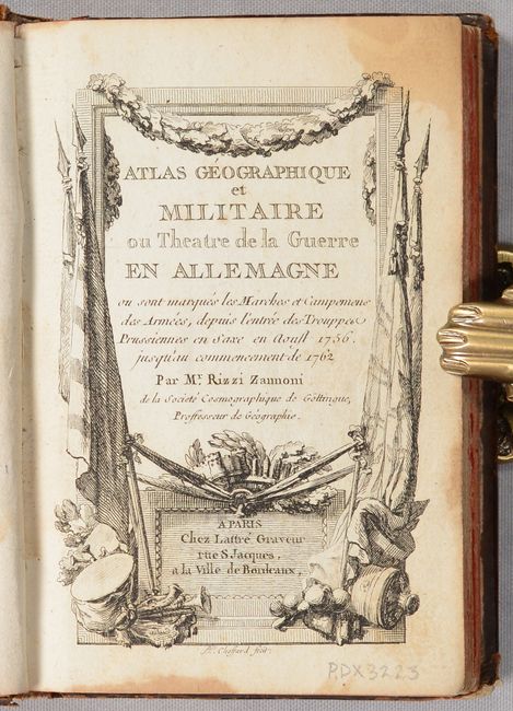
This miniature atlas depicts the theater for the Seven Years' War between August 1756 and the beginning of 1762. It includes an index map of Central Europe, extending from the Netherlands, Belguim and France in the west to Hungary and Poland in the east, as well as 16 maps corresponding to each quadrant in the index map. These quadrant maps show the routes and encampments of each of the armies involved, color-coded to identify the Austrians, French, Swedish, Prussian, Russian, and the Imperial Army of the Holy Roman Empire. The color-coded key, distance scales, and list of battles depicted on the maps are included on a separate page after the maps. The atlas also includes a 72-page "Journal of the War in Germany" detailing the events, and a 4-page catalog of other maps available by Lattre, who also engraved the maps in this atlas.
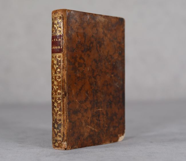
24mo. Engraved title page, 17 double-page maps, 72-pages of text, and 4-page catalog. Hardbound in full mottled leather, with gilt tooling and red leather title label on spine, and marbled end-papers.
References: Phillips (Atlases) #5248.
Condition: B+
The maps have nice impressions and are in full contemporary color. There is a dampstain in the top corner of the text block that affects the entire volume, but only enters the image on the index map. There is minor soiling on the maps and in the text. There are old manuscript ink notations on the front free-endpaper. The covers are lightly scuffed and worn, with bumped corners and chips to the leather in the corners.