Catalog Archive
Auction 208, Lot 428
"Castiliae Veteris et Novae Descriptio", Mercator/Hondius
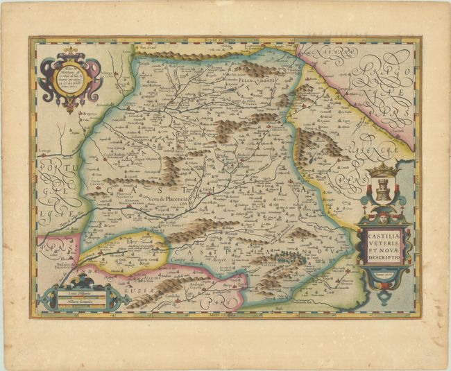
Subject: Southeastern Spain
Period: 1606 (dated)
Publication: Gerardi Mercatoris - Atlas sive Cosmographicae
Color: Hand Color
Size:
19.8 x 14.3 inches
50.3 x 36.3 cm
Download High Resolution Image
(or just click on image to launch the Zoom viewer)
(or just click on image to launch the Zoom viewer)