Catalog Archive
Auction 208, Lot 424
"Castilia Vetus", Tassin, Christophe Nicholas
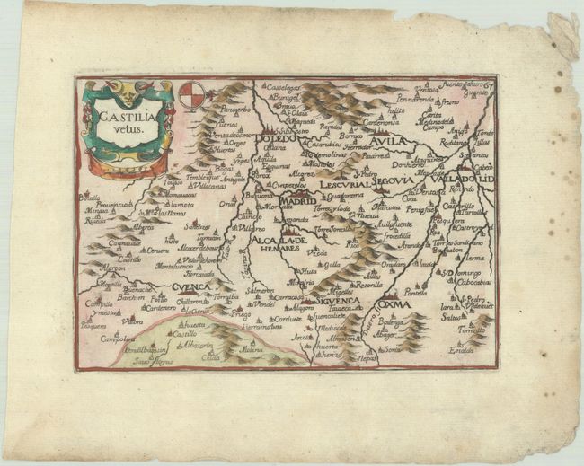
Subject: Central Spain
Period: 1651 (published)
Publication: Cartes Generales des Provinces de France et d'Espagne
Color: Hand Color
Size:
6 x 4.2 inches
15.2 x 10.7 cm
Download High Resolution Image
(or just click on image to launch the Zoom viewer)
(or just click on image to launch the Zoom viewer)