Catalog Archive
Auction 208, Lot 421
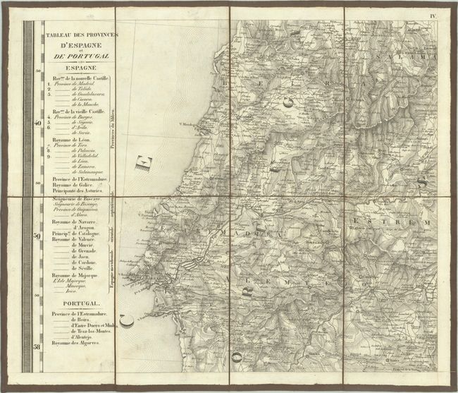
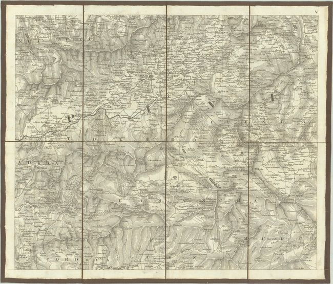
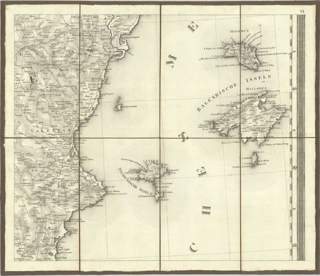
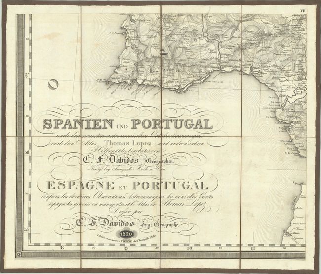
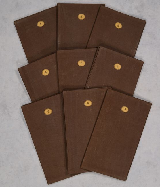
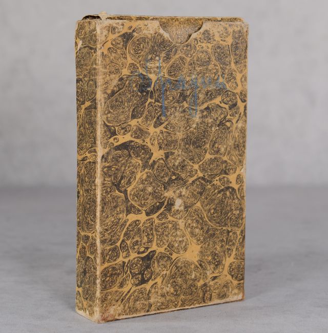
"[On 9 Sheets] Spanien und Portugal nach den Neuesten Astronomischen Ortsbestimmungen... / Espagne et Portugal d'Apres les Dernieres Observations Astronomiques...", Lopez, D. Tomas
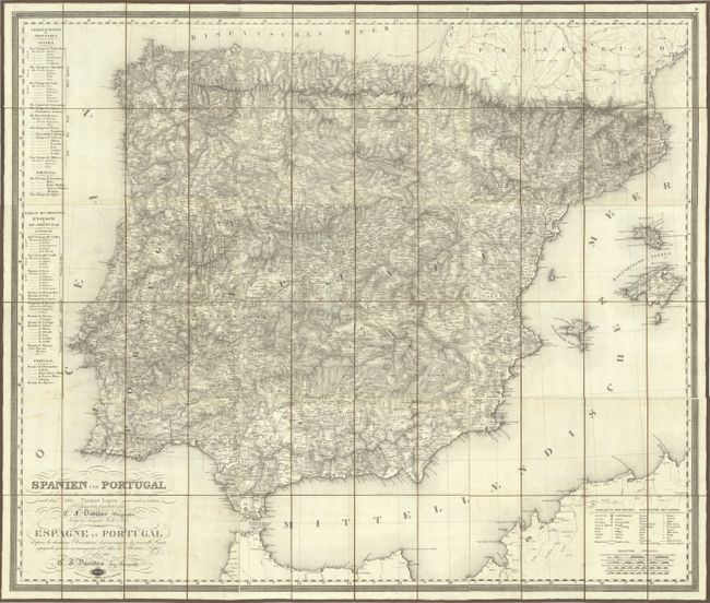
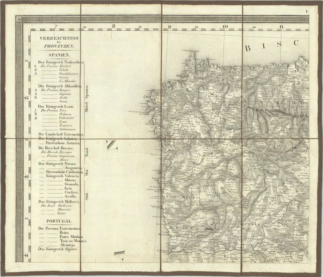
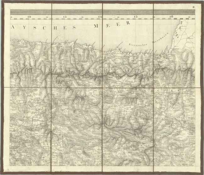
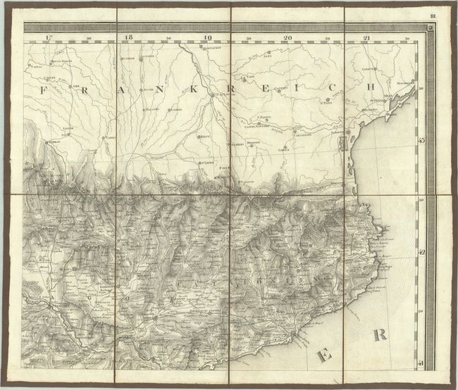
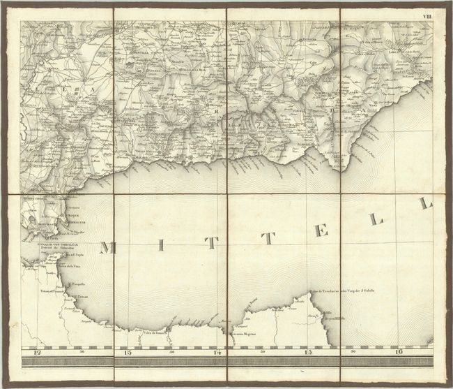
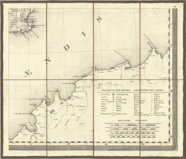
Subject: Spain & Portugal
Period: 1820 (dated)
Publication:
Color: Black & White
Size:
17.6 x 14.9 inches
44.7 x 37.8 cm
Download High Resolution Image
(or just click on image to launch the Zoom viewer)
(or just click on image to launch the Zoom viewer)