Catalog Archive
Auction 208, Lot 418
"Hespagne", Tassin, Christophe Nicholas
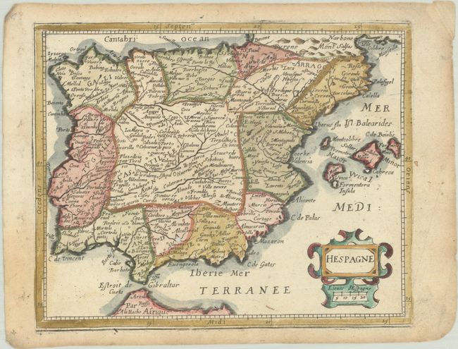
Subject: Spain & Portugal
Period: 1651 (published)
Publication: Carte Generalle de la Geographie Royale
Color: Hand Color
Size:
7.1 x 5.8 inches
18 x 14.7 cm
Download High Resolution Image
(or just click on image to launch the Zoom viewer)
(or just click on image to launch the Zoom viewer)