Subject: Paris, France
Period: 1824 (dated)
Publication:
Color: Black & White
Size:
36.6 x 25.3 inches
93 x 64.3 cm
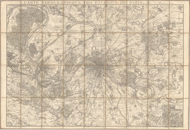
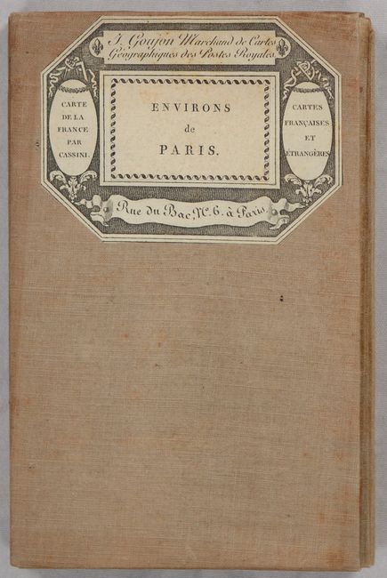
This precisely engraved plan of Paris and environs extends to include Versailles, St. Germain, Montmorency, Aulnay, Chelles and Wissous. The street-grid pattern of Paris is shown in fine detail inside its fortified walls. Outside of the city, numerous towns and villages, roads, railroads, forests, farmland, and even individual buildings are depicted. Features a small inset of Fontainebleau at bottom right. Drawn by Maire, engraved by Tardieu, and published by Goujon in Paris. Dissected into 36 panels and backed with contemporary linen. Self-folding with paper title label on verso.
References:
Condition: A
A crisp impression on a bright sheet with a few faint spots. Dissected and backed with contemporary linen.