Subject: Orange & Avignon, France
Period: 1636 (published)
Publication: Les Plans et Profils de Toutes les Principales Villes et Lieux Considerables de France
Color: Black & White
Size:
6 x 4.2 inches
15.2 x 10.7 cm
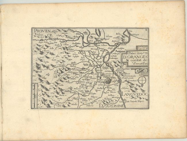
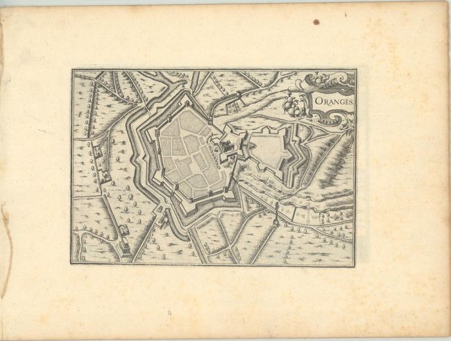
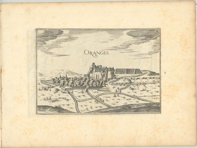
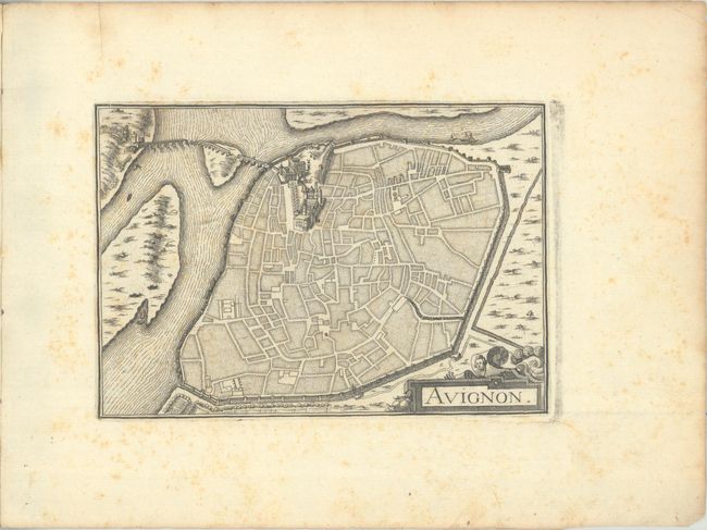
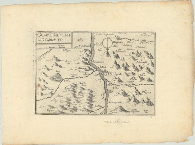
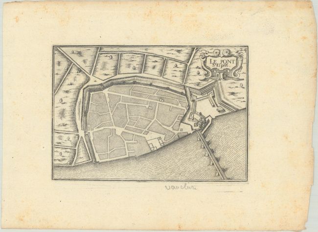
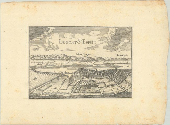
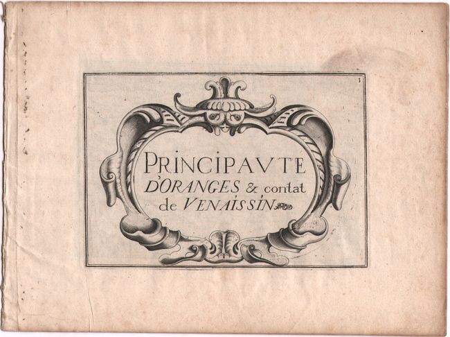
This lot includes 7 maps and views from Tassin's Les Plans et Profils de Toutes les Principales Villes et Lieux Considerables de France, an illustrated topographical survey of 17th-century France, published in 17 chapters across two parts. One complete chapter, covering Orange and its surroundings, is included in the lot. It consists of an attractive title page and four engravings, all still bound together: a map of Orange and its vicinity; a plan of Orange's fortifications; a panoramic view of Orange; and a bird's-eye plan of Avignon. Additionally, three engravings from the subsequent chapter on the province of Languedoc, all showing Pont-Saint Espirit, are on offer. Individual map titles are listed below:
A. Principaute d'Oranges & Comtat de Venaissin
B. Oranges
C. Oranges
D. Avignon
E. Gowernement du Pot Sainct Espirit
F. Le Pont St. Esprit
G. Le Pont St. Esprit
References: Pastoureau, TASSIN VIII Aa 4 & Aa 5 [23, 24, & 25].
Condition: B+
Nice impressions with light foxing that is mostly confined to the blank margins. There is a printer's crease on "Principaute d'Oranges & Comtat de Venaissin" and a light spot on "Gowernement du Pot Sainct Espirit."