Catalog Archive
Auction 208, Lot 409
"Propriae Lugudunensis Generalitatis Mappa Chorographica...", Homann Heirs
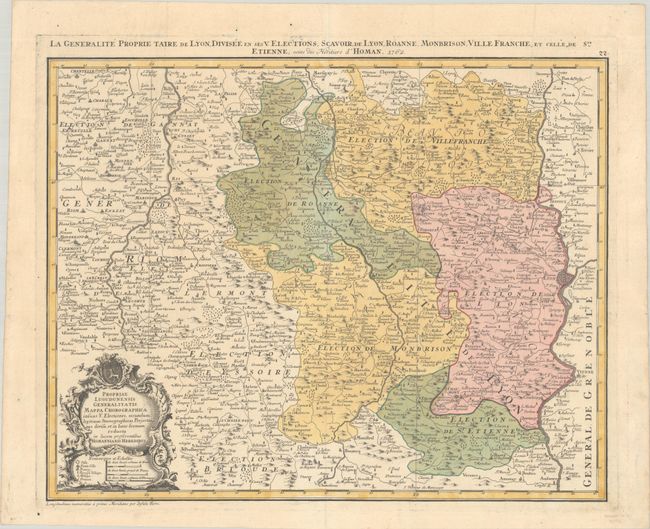
Subject: Eastern France
Period: 1762 (dated)
Publication:
Color: Hand Color
Size:
21.8 x 17.3 inches
55.4 x 43.9 cm
Download High Resolution Image
(or just click on image to launch the Zoom viewer)
(or just click on image to launch the Zoom viewer)