Catalog Archive
Auction 208, Lot 406
"Novissima Totius Aureliani Generalitatis Exhibitio in Suas XII Electiones Stereographico More Divisa …", Homann Heirs
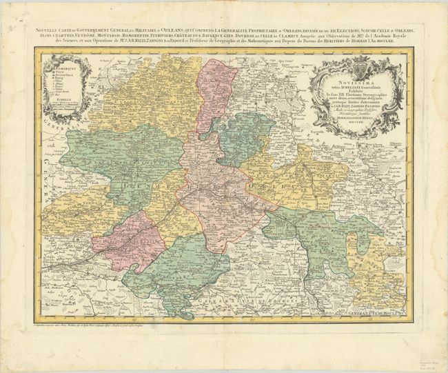
Subject: Central France
Period: 1762 (dated)
Publication:
Color: Hand Color
Size:
21.4 x 15.6 inches
54.4 x 39.6 cm
Download High Resolution Image
(or just click on image to launch the Zoom viewer)
(or just click on image to launch the Zoom viewer)