Catalog Archive
Auction 208, Lot 405
"La Saintonge Vers le Septentrion avecq le Pays d'Aulnis et les Isles de Re et Oleron", Jansson, Jan
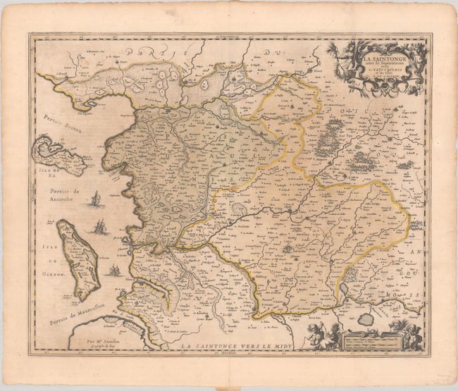
Subject: Western France
Period: 1645 (circa)
Publication: Nieuwen Atlas
Color: Hand Color
Size:
21.9 x 17.8 inches
55.6 x 45.2 cm
Download High Resolution Image
(or just click on image to launch the Zoom viewer)
(or just click on image to launch the Zoom viewer)