Catalog Archive
Auction 208, Lot 403
"Dioecesis Ebroicensis, Vulgo l'Evesche d'Evreux", Blaeu, Johannes
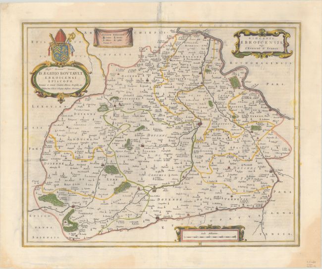
Subject: Northwestern France
Period: 1662 (published)
Publication: Atlas Maior
Color: Hand Color
Size:
20.8 x 16.8 inches
52.8 x 42.7 cm
Download High Resolution Image
(or just click on image to launch the Zoom viewer)
(or just click on image to launch the Zoom viewer)