Catalog Archive
Auction 208, Lot 402
"Les Environs de Paris, a l'Usage de Monseigneur le Duc de Bourgogne...", Jaillot, Alexis-Hubert
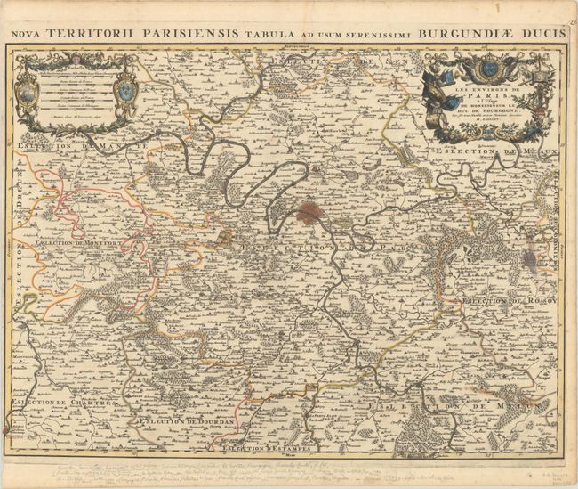
Subject: Northern France, Paris
Period: 1696 (dated)
Publication:
Color: Hand Color
Size:
24.3 x 18 inches
61.7 x 45.7 cm
Download High Resolution Image
(or just click on image to launch the Zoom viewer)
(or just click on image to launch the Zoom viewer)